
GAC
What is GAC
GAC is short for Geografische Adressen Classificatie. Aruba does not officially have a ZIP (postcode) system. Local instances like DIP, Dow, Setar, Web, Censo, etc, so it seems work from a different prospective/system.
CBS has developed a map based on Censo’s Street Addresses. Censo is responsible for giving the names. DIP more or less prefers their mapping based on postal addresses. DIP is responsible for Aruba’s infrastructure.
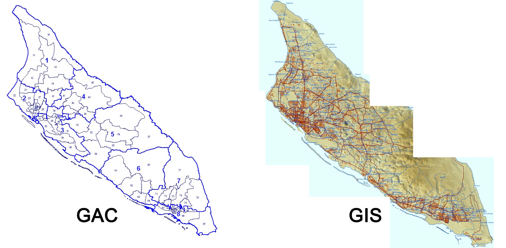
*The GIS map is unfortunately not available for public use… We will do our best to offer you the best possible system.
Why did we choose to use the GAC system
Here in Aruba every Agent, just like any local use their own personal interpretation of where a place is located. For example: Caya Frere Theodorus, some may argue it’s in the area of Ponton, Paradijswijk or even Madiki Kavel. This we believe is a problem for people searching for houses in let’s say specifically in Ponton. If an Agent feels that this street is not located in Ponton but let’s say Paradijkwijk, that buyer will miss out on that listing, if it actually was Ponton is reality.
Btw: Caya Frere Theodorus is according to the GAC located in the zone of Madiki Kavel.
We choose the GAC system because it’s is the only more or less “complete” structured system and “actively” managed by CBS. It has a GAC-code, based on a region-code/zone-code. With also street name abbreviations, all this give us as developers great tools to work with.
Another reason for choosing this system is that it’s based on CENSO. New streets, renamed streets, etc is also an important factor to stay up to date.
We realize each system has their pros and cons, but we are determined with the help of CBS and other instances to give you the Agent the best possible system.